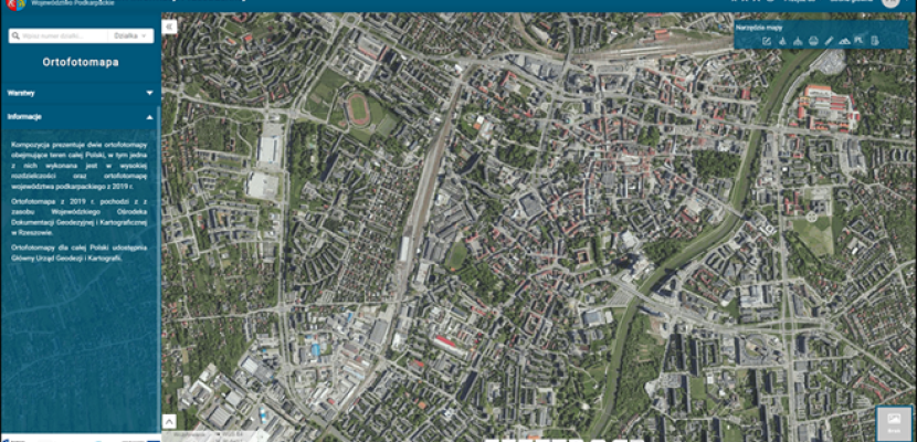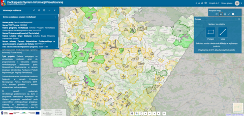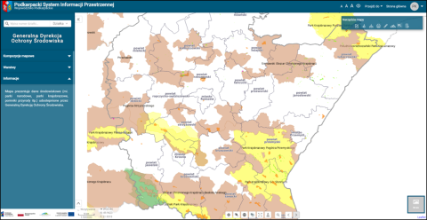
Podkarpackie Spatial Information System (PSIS)

About this good practice
The creation of the PSIS - regional, open, digital platform integrating spatial information resources - as a key element in supporting public decision-making.
Resources needed
The PSIS, funded by EU funds (41.950.438 €; (PLN 180.806.390)), incurs €300000/year for maintenance. Human resources involve 3-5 full-time technical officers. Integration of Satellite Data adds €20000/year. A dedicated office is planned for PSIS management.
Evidence of success
The success is evidenced by the involvement in the project 22 local government partners and 1 the regional Leader, as well as significantly exceeded project result indicators:
- number of downloads /downloads of documents containing public sector information - value according to the funding agreement 5,850 pcs / value achieved: 935,140 pcs.- number of users of innovative tools for improving digital skills: value according to the funding agreement: 2,150 people/ value achieved: 17,167 people.
Potential for learning or transfer
Intergration of satellite data with SDI will play an increasingly important role in various areas of local government activities (e.g., urban planning, emergency management, climate change, etc.).Podkarpackie just starting with this process thanks to the created regional SDI.
It is extremely important to have a properly designed regional SDI into which satellite data/earth observation can be systematically entered according to user requirements. It is necessary to have highly qualified personnel who are constantly being educated and developing their skills. It is also necessary to train other employees of local/regional government bodies in how SDI data and satellite data that can be obtained free of charge can be used in carrying out the tasks of individual departments/divisions. All of these areas have potential for learning and transfer.


