Land deformation monitoring with integrated geomatic technique in the Veneto Region

About this good practice
Integrated geomatic technique combining levelling lines, InSAR data and GNSS surveys for monitoring land subsidence in Veneto Region
Resources needed
Financial resources for the levelling measurement: circa 100.000 €;
Human resources: contractualization of 1 full time GIS/ remote sensing expert.
Evidence of success
The practice is considered to be a success mainly for the scientific precision the measurement has achieved.
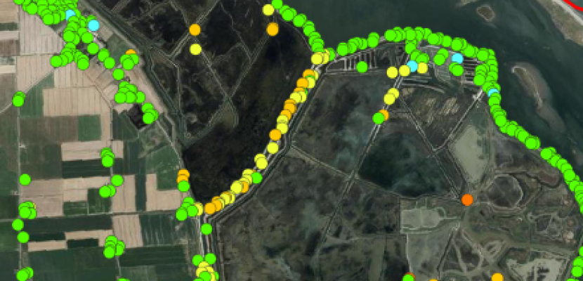
As an example, thanks to the technique it has been proven that in the Po River Delta area deformation values are: 1 ÷ 1.5 cm/year for the land subsidence; about 60% reduction in levee safety in 2100 (study by University of Padua, 2022 - Main authors: M. Fabris, A Menin).
Potential for learning or transfer
This practice can be of interest to any EU region whose land, or part of it, experiences land deformation phenomena, specifically subsidence.
For a successful implementation, collaboration with academic institutions is key. In fact, LRAs rarely have the internal know-how to analyse and process this kind of data. Therefore, to guarantee a solid scientific approach, it is advisable to set up partnership and/or agreements with academic or private institutions specialised in the geomatic sector.
